UAVFano
EVO II RTK Series V2
EVO II RTK Series V2
Couldn't load pickup availability
EVO II RTK Series V2
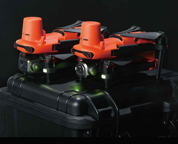
Centimeter-level precision positioning
The EVO II RTK series integrates the new RTK module to provide real-time centimeter-level positioning data and support PPK post-processing. The aircraft can record satellite original observation data, camera exposure parameters and other data, and users can directly solve the initial high-precision position information through the cloud PPK service. The positioning system supports RTK mobile station and network RTK, and can achieve accurate and stable data acquisition in complex environments to help industry applications.
EVO II Dual 640T RTK
The EVO II Dual 640T RTK is equipped with a high-resolution thermal camera and an 8K visible-light camera for high-resolution imaging to capture details and see the whole picture.
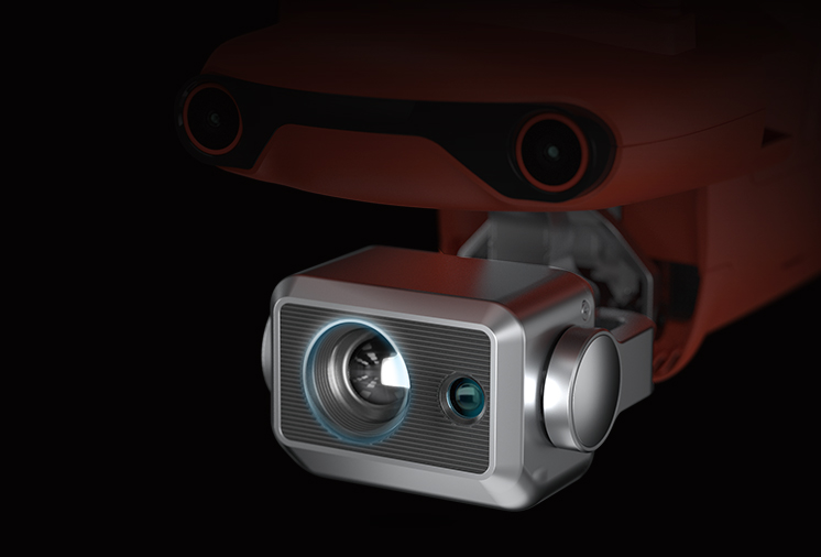
High precision temperature measurement
The heat source can be accurately detected within a distance of 2-15 meters, and the advanced infrared distance compensation algorithm is used to control the temperature measurement error within ±3 degrees.
High resolution thermal imaging
13mm focal length, 640*512 high resolution thermal imaging lens, with 8K ultra HD visible light camera, dual light lens insight into the "two-sided" world, taking into account the perception of ultra clear picture
EVO II Pro RTK has sharper shooting effects and strong light perception, so that the work scene is clear, not to miss any details。
.png)
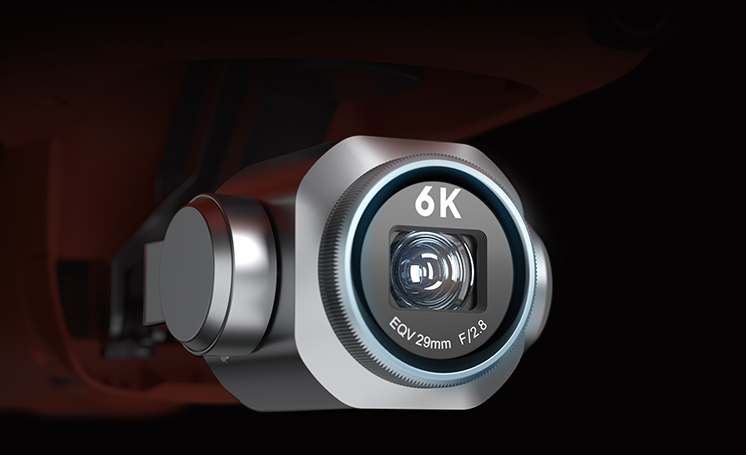
6K Ultra HD image
An inch outsole plus 6K resolution ultra HD lens, easy to achieve professional shooting experience
.png)
High score camera flagship picture quality
With 1 inch CMOS, 20 million pixels, aperture f/2.8-f/11 high score camera quality, every job will live up to your expectations
Pack light. Efficient and reliable
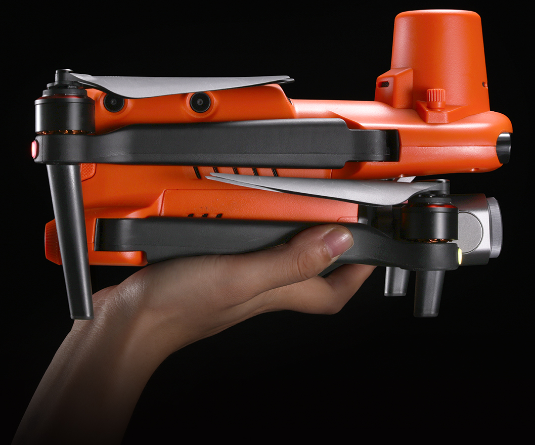
Portable and easy to use, the EVO II RTK series inherits the folding fuselage design of the EVO II, small and lightweight, easy to carry, ready to use, quickly enter the working state, the endurance time of up to 36 minutes, the flight speed of up to 20 meters/second, and has 9 kilometers of ultra-long map transmission distance, helping users to work smoothly and efficiently。
Intelligent work Fully feasible
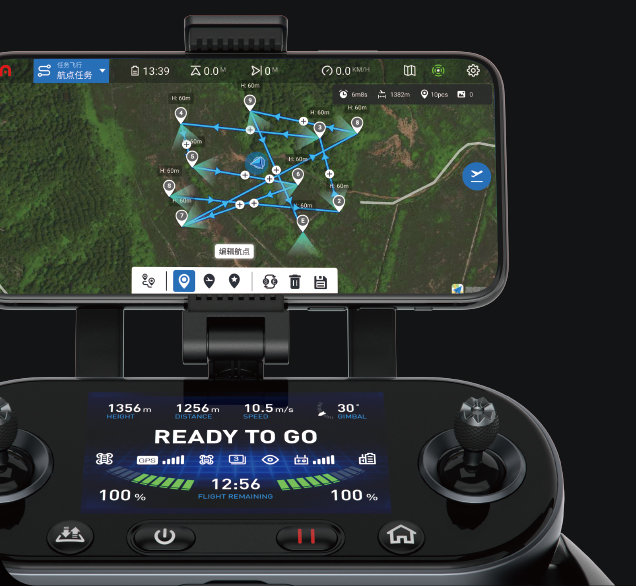
EVO II RTK series provides users with a full range of intelligent application solutions, with advanced flight control technology and AI intelligent technology, comprehensively improve the quality of work, reduce operating costs
Shot reproduction
Record the shooting position, the drone can automatically hover to the same position and turn the head to the same direction when taking off next time, reproduce the same imaging, and comprehensively record the longitude and latitude of the drone, camera Angle and other information during operation, so as to facilitate follow-up inquiry and summary and provide decision-making basis。

Multiple "vision", safe obstacle avoidance
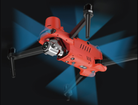
The 6-way binocular omnidirectional obstacle avoidance design of the EOV II RTK series enables the aircraft to have omnidirectional "observation" of obstacles and escort for flight safety.
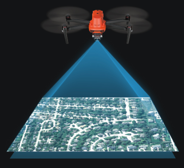
The EVO II RTK series uses a high-precision RTK module, and users can choose network RTK or set up their own base stations. The system provides satellite original observations and camera exposure files, supports PPK post-processing, accurate time synchronization, and is not limited to communication links and network coverage, ensuring phase-free implementation。
ADAPTS RTK high-precision GNSS mobile station
It can be used with RTK high-precision GNSS mobile station to obtain real-time differential data. It can also be used for point measurement through RTK mobile station to obtain accurate coordinates of target points
Application field
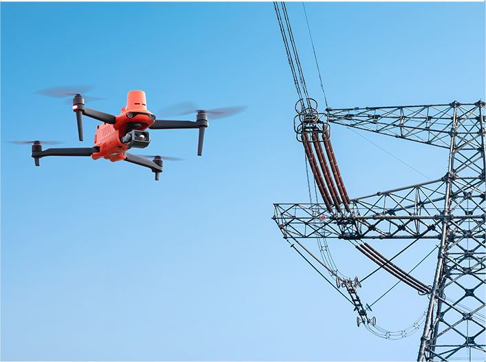
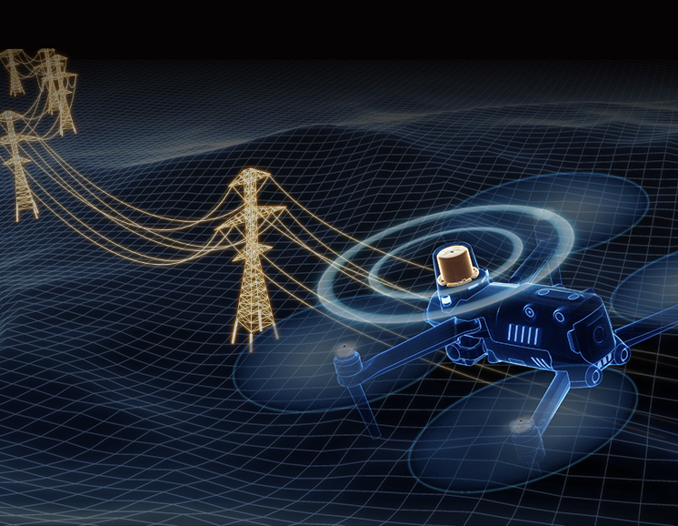
Power inspection

Police law enforcement
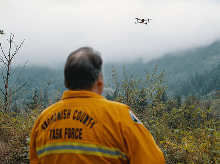
Fire rescue
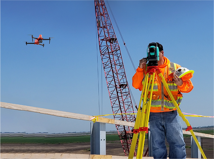
Geographic mapping
Share

